Between the pass and Kounoupia to the south is 22 km (14 mi) of central Parnon, lower in altitude than the northern. The remaining 38 km (24 mi), even lower in altitude but still mountainous, runs from Kounouria to the sea at Epidaurus Limera, which is in Monemvasia. Parnon proper does not extend into the Malea Peninsula.
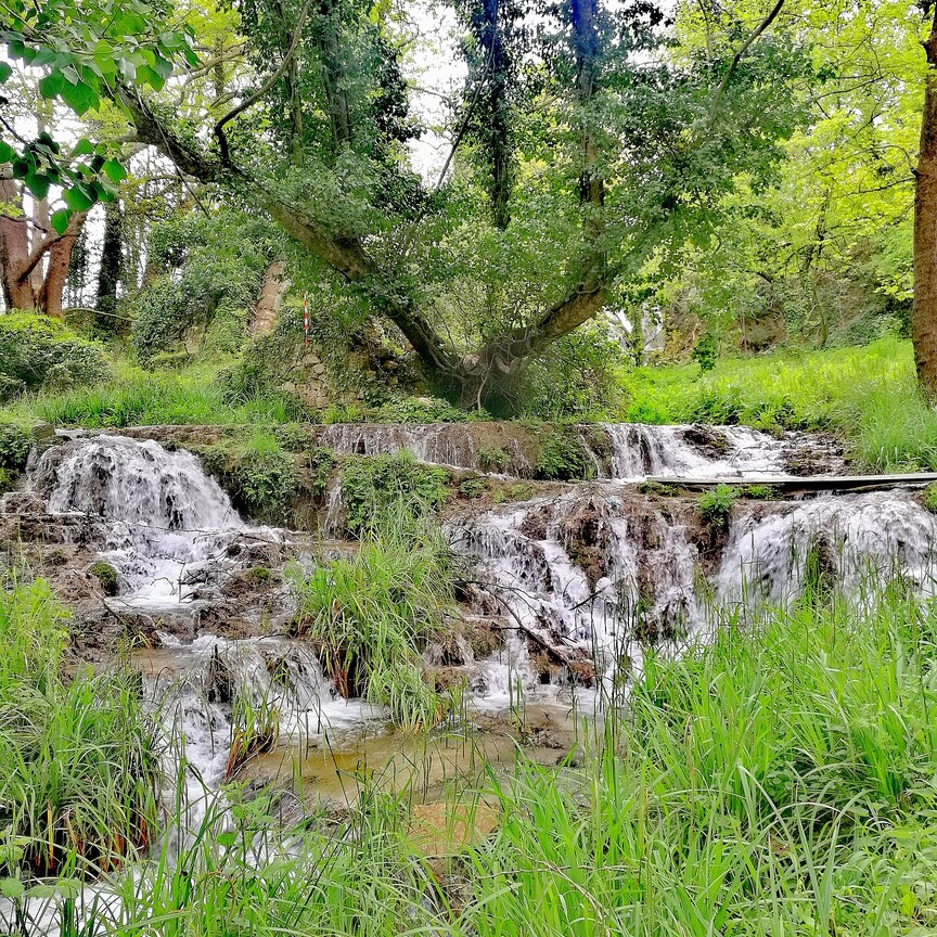
Hiking to Mt. Parnonas
The Parnon Massif is divided into three parts.`{`1`}` The northernmost, which is the highest, runs 30 kilometres (19 miles) from just north of Ano Doliana in North Kynouria, eastern Arcadia, southeast to Platanaki Pass. Platanaki, ancient Glyppia, is on the ancient route from Therapnes to South Kynouria between the peaks of Parnon, 1,935 metres (6,348 feet), and Psaris, 1,836 m (6,024 ft). Altitudes on the north rise from 1,100 m (3,600 ft) to 1,300 m (4,300 ft) increasing toward the peak to 1,600 m (5,200 ft) to 1,800 m (5,900 ft) with a tree line at 1,750 m (5,740 ft). Below it are forests of Black Pine and fir; above it, grasslands.
Physical
Geography
In addition to the range of Parnon, two forelands can also be defined, east and west. Kynouria is located in the east foreland. In the west two lengths can be distinguished: from the northern flank of Parnon to Gkoritsa in Therapnes (on the road to Platanaki Pass), which is 6 km (3.7 mi) to 15 km (9.3 mi), and southward into the Malea Peninsula, 3 km (1.9 mi) to 9 km (5.6 mi) wide.